
Hiking Rangitoto Island
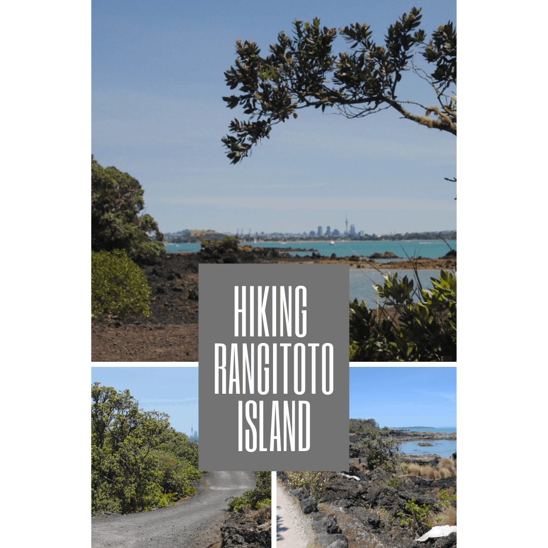

Rangitoto is a sight that can’t be missed! From almost every viewpoint in the city (see my post on the five best viewpoints here!), you can see Rangitoto standing sentinel over the mouth of the harbour. It’s an absolute must do – If hiking Rangitoto Island is not already on your Auckland to do list, then get it on there now!
As a destination, it’s just beensitting there, waiting for me to visit. And I’ve been waiting for the perfectday to head out there. Last weekend was the perfect time, the temperature washovering in the mid 20’s, there was a bright blue sky, and a gentle breeze.(And I was up and moving early enough to make it our there at a decent time).
If you’re thinking about HikingRangitoto Island, but don’t have time to read on now, pin it here for later!

Gettingthere and getting hiking!
From Auckland, it’s just a short20-25 minute ride across to the island from the ferry terminal. On arrival atthe wharf, I disembarked, and headed straight for the information boards. Ihadn’t really gone prepared and needed to snap a photo of the trail maps andplan my route right there and then.
It’s a fairly straightforward trailsystem, with just a few options. I decided to head straight up to the summit(via the lava caves), then descend the long way – down Summit Road to McKenzieBay then back along the McKenzie Bay road to the Rangitoto Wharf. I hoped thatI’d escape some of the crowds by walking back that way.
If you’re thinking about exploringRangitoto, then I’d highly recommend this route, as it really paid off, and Iwalked alone most of the way after leaving the summit, and totally alone afterleaving McKenzie Bay!
Here’s some more details about whatto expect and the most fantastic views you’ll get to experience on this hike!
FromRangitoto Wharf to Rangitoto Summit
The DOC literature estimates thatit’s around a one hour walk to the summit. I’d say it’s about right, and takesinto account plenty of time to stop and enjoy the views along the way.
Around ten minutes into the hike there is a little boardwalk spur to a lookout. Here you can look up to see how far you have to go, or look down, and read some interesting information describing how this volcano was formed – I’ll get into that later!

Continuing on up the hill, you’llhave several opportunities to stop and enjoy the views back across WaitemataHarbor. They only get better the further you go!!! Take the opportunity for abreather and stop to take pics at each point, as if you follow the same routeas me, you won’t be returning this way.

Around 45 mins into the hike, youhave the opportunity to take the spur trail to the lava caves. It’s areasonably easy 15 minutes to the entry of the lava cave, and if you’ve comethis far, you might as well visit the caves as well. Just remember to take ahead torch with good batteries, as I found that my phone flashlight wasn’t muchchop in the dark (or maybe I’m just a scaredy cat – or both).

Back at the trail junction, therewere plenty of people stopping for a rest and snack in the shade. While it wasa nice shady spot, if you’re going to hike the loop, I’d implore you to keepgoing and save your lunch break for McKenzie Bay.
From the trail junction, it’s just15 minutes walk to the summit. You’ll reach the crater viewpoint first. Take amoment to admire the dense foliage in this 60m deep, 200m wide crater beforeyou head to the summit. If you’re there at the right time of year, and you’relucky, the pohutukawa might even be in bloom!

From the crater rim, it’s just ashort walk up the steps to the summit. The views just about knocked my socksoff. Rather than trying to describe it, just check out these images. Suchspectacular scenery, I couldn’t get enough of it. Stunning views of not onlythe Auckland skyline, but the entire Hauraki Gulf!


RangitotoSummit to McKenzie Bay
Once you’ve had your fill of theview (you might be there a while), then I’d recommend a stroll around thecrater rim trail before you start out on your return trip.to the wharf. Thebest view if the crater is from the viewpoint that you already passed on theway to the summit, but how many times do you get to walk around the rim of acrater?
Once you’ve circumnavigated thecrater, you’ll return to the crater viewpoint, and from here, there are acouple of options for your return to the wharf.
If you’re following the route Itook, you’ll head down the boardwalk trail towards the summit road. Theboardwalk is delightfully shaded and offers some gorgeous views towards theouter island in the Hauraki Gulf. Make sure you keep an eye out for all of themost magnificent vistas along the way.

Once you reach the summit road,you’ll turn left and keep walking along the roadway.
If you’re short on time, or notfeeling up to the return walk you can either return via the trail you ascendedon, or walk down to the summit road and wait for the tractor trailer totransport you back to the wharf.
Summit Road is a dark gravel/volcanic rock surface, and a pretty easy walk downhill. The further you travelfrom the summit, the more exposed the road becomes. Make sure you’ve reappliedsunscreen and have a hat if possible, but keep your phone or camera handy asthere’s some speccy views along the way!!

As you know by now, myrecommendation is the walk. It’s around an hour at the most to McKenzie Bay,which is a lovely little protected bay on the Western side of the island, withviews of the lighthouse and across to Auckland’s north coast. I’d recommendstopping on the beach for a breather and to enjoy the lunch you brought withyou. If you’re planning to spend the entire day on the island, take yourswimmers and have a refreshing dip in the bay during your lunch break.

Check your timing, from here, adirect stroll back to the wharf takes around an hour and a half, so you may beable to spend some extra time enjoying this special little beach location!
McKenzieBay to Rangitoto Wharf
As you leave McKenzie Bay, you goback out onto the road, and continue heading in a counter clockwise directionback to the wharf. This section of the road is VERY exposed – there’s hardlyany shade at all.
To counter that, there are some morelovely views across the Harbor along the way. Just make sure that you haveplenty of water with you, as you’ll need it when you’re walking in the fullsun.

Along the way, there’s a little spurtrail to Flax Point if you’re up for it. The trail has an uneven volcanic rocksurface, and leads towards the coast and the black back gull breeding colony .I was running really low on water, so didn’t take this detour, but I was stillable to see the colony from the road and found this straggler posing in frontof yet another epic skyline view!.

Closer to the wharf, you’ll pass bysome of the historic bach’s (holiday homes) that were built on the island fromthe 1920’s onwards. There’s also the option to take another little spur trailthat leads you through the kowhai grove and the kidney fern glen. Check theferry schedule, and take a short wander through these trails if you have thetime. It was a toss up – i was enjoyed the views of the rugged volcaniccoastline, so continued on the trail towards the wharf.


I had just enough time for abathroom stop before heading to the wharf. There was quite a lineup of peoplewaiting for the next ferry. If you’re running late, then just head straight tothe wharf, the ferries have facilities on board.
About Rangitoto
Rangitoto appeared out of the seaaround 600 years ago. It’s the most recent, largest and least modified of allthe volcanoes in the Auckland field, which is made up of around 53 dormantvolcanoes, all located within 6km of one other neighboring volcano.
Rangitoto is a basalt shield volcanowith plants colonizing it’s lava fields – a miniature version of the Hawaiivolcanoes. There are over 200 native plants colonizing the island, thriving inthe harsh conditions. Some of the trees take root in rotting leaves directly ontop of the lava fields. The harsh conditions also mean that birds and wildlifeare sparse on the island. Apart from two colonies of black billed gulls, thereare very few birds or other wildlife due to the lack of water and foodresources.
It’s quite a unique environment, andwell worth a visit for the day.
Mappingthe route…
The DOC map shows all of the trailson the Island… check it out here
The DOC website also outlines someother hike options here.If I get the chance to visit for a second time, I’d like to take the CoastalTrack to Islington Bay. From Islington Bay Road, I’d turn onto the Wreck BayTrack towards the coast, where the remains of some ships can be seen at lowtide.
Tipsfor a fun day out Hiking Rangitoto Island
During the Summer season, weekendscan be busy on Rangitoto Island, and ferry tickets do sell out. Purchase yourtickets online to ensure you don’t miss your preferred departure. You’ll alsoreceive a small discount when you purchase online.
Arrive at the Auckland pier at least15 minutes prior to your ferry departure.
Be prepared:
- Make sure you have plenty of water and snacks with you as there are NO retail outlets on the island at all.
- Wear sturdy walking shoes – the lava base means that some of the trails can be rough!
- Finally, make sure you have sunscreen and a hat. The sun reflects off the lava, and it gets hot out there!
Check the ferry departure times, andmake sure you are back at the wharf in plenty of time for the last ferry of theday. Ferry timetables can be viewed here.If you forget to check the timetable, the captain will remind you as you disembark,but it’s also signposted on the island.
Remember all of the above, and youare bound to have a fantastic day hiking Rangitoto Island. Let me know what youthink!
